Comprehensive Plan
FrameworkOP
The comprehensive plan is a policy guide outlining the City’s intention for growth. The plan guides decision-makers and the community regarding future development and aspects of our city’s quality of life, focusing on housing, development, mobility options and the environment.
In 2022, the City of Overland Park launched FrameworkOP to update its comprehensive plan. This community-driven process provided a detailed update of the City’s previous comprehensive plan to respond to current needs, shape future opportunities, integrate best practices and build upon the City’s strategic plan, Forward OP. The City adopted the updated plan in May 2024.
FrameworkOP reflects the community’s intention for where and how Overland Park should grow through 2045.
Contact
Planner of the Day
[email protected]
913-895-6217

Comprehensive Plan Resources
- FrameworkOP Foundation Report
- FrameworkOP Land Use Alternatives Technical Report
- FrameworkOP Public Engagement Summary
FrameworkOP Advisory Teams Summaries
Planning for Overland Park’s Future
Learn how Overland Park’s Comprehensive Plan shapes the City’s future!
Featured at the Mayor’s State of the City address, this video explores how the plan guides growth and development to ensure a vibrant, sustainable community. Hear from those who played a key role in shaping the plan, sharing insights on the collaborative process and its impact.
Comprehensive Plan Use
This comprehensive plan is a policy guide that the City of Overland Park staff uses to evaluate development proposals, annexation requests and capital investment projects.
The Planning Commission and City Council also use FrameworkOP when making the City’s planning decisions. The goals, development principles and policies included within this plan will be assessed and referenced in staff reports.
Elected and appointed officials will use this policy guidance to assess whether projects support the goals and policies of this comprehensive plan and assess any related trade-offs when making important development and policy decisions.
The comprehensive plan can also be used by:
- Potential homeowners, residents, homeowners associations and neighborhood organizations to identify proposed land uses and planned roadways in their area or throughout the city.
- Developers to identify the types of developments the City would like to see.
- Other agencies, including school districts, county government and utility companies to help forecast future service needs.
- Surrounding cities to evaluate the appropriateness and compatibility of their plans for proposed land uses and roadways.
Future Development Character Framework
The Future Development Character Framework considers land uses within a larger framework of places in communities with similar block patterns, building forms, street networks, and land uses. The character types approach focuses on design, allows for flexibility of uses, fosters mixed-use development and helps coordinate the design of development and transportation facilities.
The Future Development Character Framework is a statement of aspirations for the community’s future, describing the general form and land uses for distinct areas of Overland Park using character types applied on a map. Each character type includes a set of “building blocks” that serve as a general rule for the desired scale and character of development. It is also reviewed as part of development and rezoning processes. If a proposal is consistent with the Future Development Character Framework, that is evidence that the proposal is aligned with the vision of the city’s future.
The Planning Commission and Governing Body use the Future Development Character Framework map, character type descriptions, building blocks and policies and actions outlined in FrameworkOP to make decisions about proposed development in Overland Park.
Zoning
The Future Development Character Framework is intended to define the appropriate and desired development patterns throughout the city. These recommendations are primarily implemented through the City’s Unified Development Ordinance, which is the legal tool regulating the use of land, including the types of structures that may be built, how they are built, where they can be located on a property and how they may be used. There may be more than one appropriate zoning category for a specific character type.
While the individual character types may include recommendations for building height, massing, connectivity, transitions and other design features, the zoning ordinance defines these requirements.
The Future Development Character Framework and the zoning map play different yet complementary roles in guiding and regulating land development in Overland Park. The two should be used jointly to review the merits of a proposed development to ensure it meets land use regulations and complies with the City’s goals and policies.
Greenway Linkages Guidelines
The greenway linkages guidelines guide the development of an extensive system of linear open spaces, most of which will have bike and hike trails linking public parks and recreation facilities with schools, residences, churches, libraries and more.
These linkages are often used as buffers between differing land uses to conserve areas of natural or historic value or to enhance parks and roadways.
The greenway linkages guidelines describe the five types of greenway linkages shown on the map.
The City Council and Planning Commission use the plan and guidelines in their review of all site development proposals, including platting of land, rezoning and special use permits.
Changing the Comprehensive Plan
The City reviews portions of the comprehensive plan annually to ensure they reflect current land-use policy. This review is also required by state planning enabling legislation.
Over time, conditions in the community will change, and it may be necessary to consider alternative character type applications for certain areas. This is appropriate for sites that have experienced the following changes:
- New or enhanced transit service provided nearby;
- Land use changes or increases in development intensity on adjacent sites that share a property boundary;
- New public investments or changes in transportation or utility infrastructure, parks, schools, religious facilities, or other public facilities;
- Changes in market demand; or
- Changes that align with the City’s Development Principles.
The Planning Commission’s Comprehensive Plan Committee works with staff to update the plan. This review may involve workshops to outline proposed amendments. Amendments may come from the Governing Body, Planning Commission, City staff, or residents.
After drafting amendments, the Planning Commission will hold a public hearing before adopting any amendments to the comprehensive plan.
Character Types
The Future Development Character Framework map and the following character types comprise the Future Development Character Framework. The character types include a broad list of uses along with associated definitions referenced within each character type.
These character types provide a common language and clear direction that can be used by residents, property owners, developers, City staff and elected officials when determining the appropriateness of a development application or a requested rezoning.
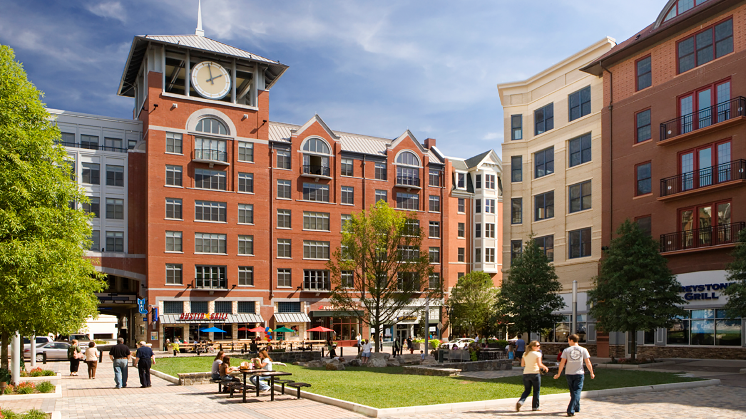
- Regional Activity District
 Regional Activity Districts will serve as Overland Park’s premier mixed-use hubs, blending residential and commercial spaces into dynamic, walkable destinations. These areas have the potential to revitalize existing commercial sites by introducing vertically mixed developments that support future transit and attract visitors from across the region. Thoughtful planning, including parcel consolidation, will help maximize development opportunities and create cohesive, well-designed spaces. Regional Activity Districts are ideal locations for entertainment venues, community event spaces and unique attractions. Over time, development may evolve through strategic infill, transforming surface parking lots into vibrant, high-density centers that offer a balanced mix of residential and non-residential uses.
Preferred Uses
- Housing 5 – Mid-rise apartments, including condominiums
- Office
- Vertical Mixed-Use
Supported Uses
- Civic/Institutional
- Commercial/Retail
- Craft Manufacturing
- Healthcare
- Lodging
- Parks and Open Space
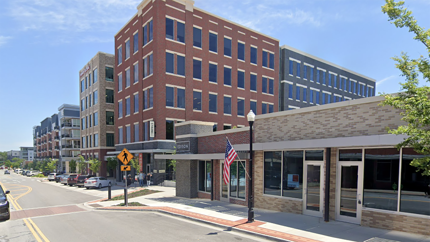
- Local Activity District
 Local Activity Districts include office and commercial areas, both existing and potential, designed for a compact, walkable layout that supports future transit service. These districts offer opportunities to transform auto-oriented shopping centers into pedestrian-friendly spaces through adaptive reuse, redevelopment and infill of large parking areas. By integrating mixed-use buildings, they can blend residential, retail and office spaces, with ground-floor commercial use and upper-level housing or other functions. Consolidating parcels to promote cohesive planning is encouraged.
Preferred Uses
- Commercial/Retail
- Housing 5 – Mid-rise apartments, including condominiums
- Office
- Vertical Mixed-Use
Supported Uses
- Civic/Institutional
- Craft Manufacturing
- Healthcare
- Housing 2 – Cottage-style single-family homes, duplexes and townhomes.
- Housing 3 – Low-rise multi-family residential uses designed using the form and style of single-family residential structures.
- Housing 4 – Garden-style and other smaller apartments/condominiums.
- Live/Work
- Lodging
- Parks and Open Space
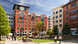
- Downtown District
 The Downtown District serves as the community’s original town center, characterized by a walkable street grid with short blocks and multiple connections to surrounding neighborhoods. Development should enhance the pedestrian experience through high-quality, durable materials, cohesive design, and traditional construction techniques aligned with the Downtown Form-Based Code. Aesthetic appeal and architectural form are key priorities, while auto-oriented uses are not suitable or supported in this district.
Preferred Uses
- Commercial/Retail
- Craft Manufacturing
- Housing 1 – Single-family detached housing and accessory dwelling units.
- Housing 2 – Cottage-style single-family homes, duplexes and townhomes.
- Housing 3 – Low-rise multi-family residential uses designed using the form and style of single-family residential structures.
- Housing 4 – Garden-style and other smaller apartments/condominiums.
- Housing 5 – Mid-rise apartments, including condominiums
- Live/Work
- Office
- Vertical Mixed-Use
Supported Uses
- Civic/Institutional
- Lodging
- Parks And Open Space
- Commercial Hub
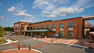 Commercial Hubs offer opportunities to enhance auto-centric commercial and office areas by improving walkability and connecting nearby neighborhoods. They also include newly developed commercial spaces designed to serve surrounding communities. These areas should balance vehicle accessibility with pedestrian safety, incorporating open spaces and thoughtful design. Buildings may feature individual first-floor tenant spaces with separate entrances. Drive-thrus are permitted but must adhere to appropriate design and development standards.
Preferred Uses
- Commercial/Retail
- Office
Supported Uses
- Auto-Oriented
- Civic/Institutional
- Healthcare
- Housing 3 – Low-rise multi-family residential uses designed using the form and style of single-family residential structures.
- Housing 4 – Garden-style and other smaller apartments/condominiums.
- Housing 5 – Mid-rise apartments, including condominiums
- Live/Work
- Lodging
- Parks And Open Space
- Vertical Mixed-Use
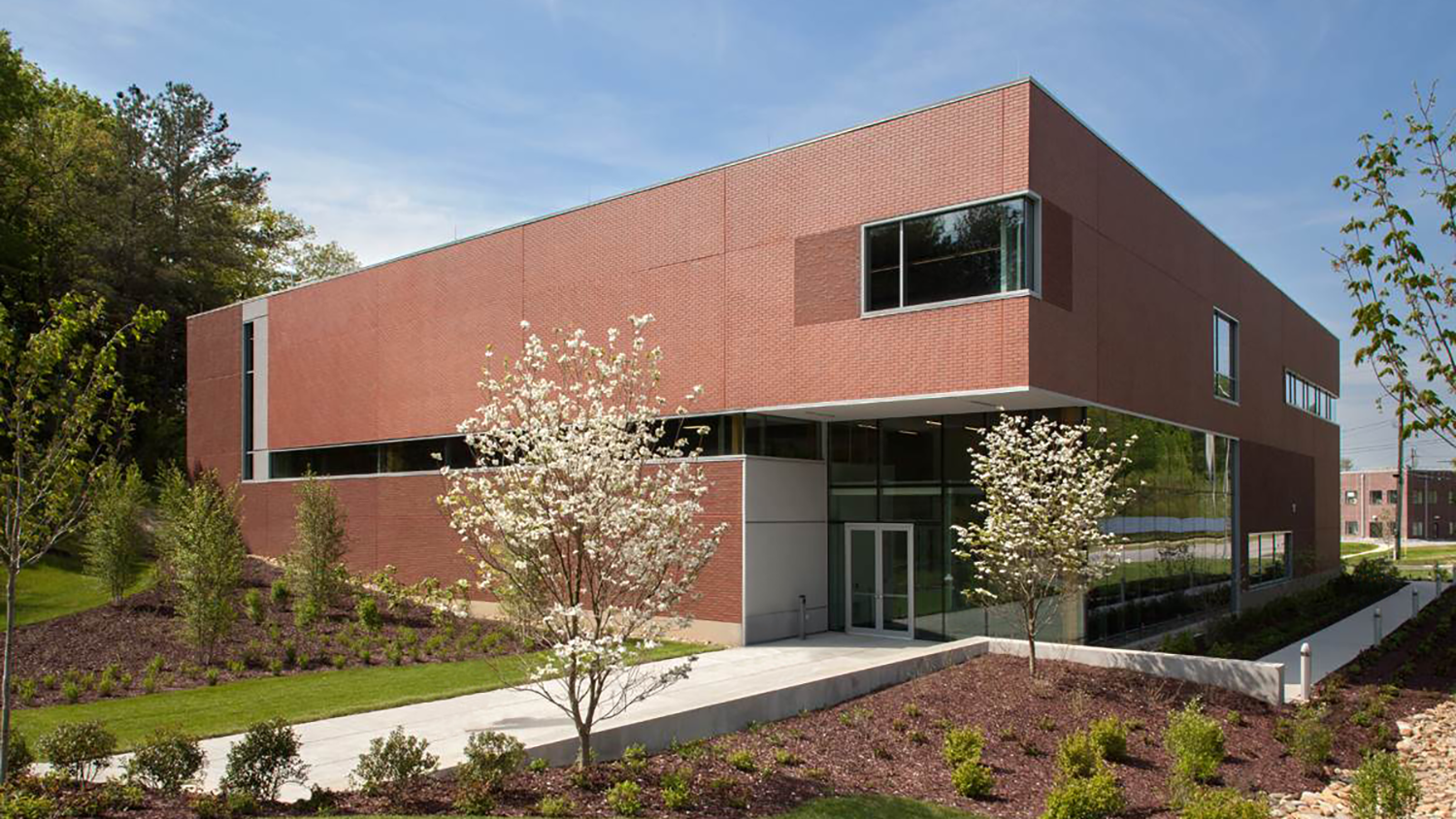
- Innovation/Flex Hub
 Innovation/Flex Hubs accommodate a range of modern, low-impact industrial uses, including manufacturing, assembly, processing, warehousing and flexible office/industrial spaces. These hubs are ideal for emerging technologies, research and development and laboratory facilities. To enhance convenience for workers and minimize trips, select commercial and retail uses are appropriate within these centers. While primarily accessed by automobiles, developments should include internal connectivity to make on-site services and dining options easily accessible. Thoughtful site and building design should mitigate noise, light pollution and odor impacts. Facilities expecting high volumes of daily truck traffic are best suited for locations with direct highway access. Drive-thrus are permitted, but they must comply with applicable design and development regulations.
Preferred Uses
- Craft Manufacturing
- Light Industrial
- Office
- Warehousing/Distribution
Supported Uses
- Auto-Oriented
- Civic/Instructional
- Commercial/Retail
- Parks and Open Space
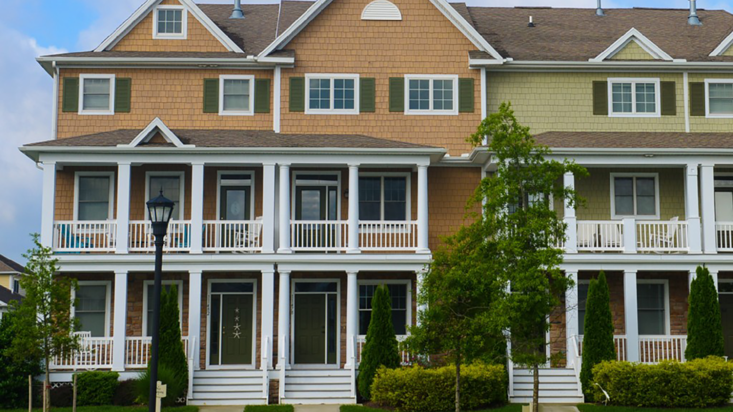
- Compact Neighborhood
 Compact Neighborhoods offer a variety of residential housing options, including apartments, townhomes and senior or assisted living communities. These areas typically focus on a single housing type, such as multi-story apartments or attached residences, often located near neighborhood-scale commercial areas. Amenities like recreational centers, clubhouses or shared facilities may be included for residents. Compact Neighborhoods can also serve as transitional areas, bridging lower-density residential neighborhoods with higher-intensity commercial and mixed-use developments.
Preferred Uses
- Housing 2 – Cottage-style single-family homes, duplexes and townhomes.
- Housing 3 – Low-rise multi-family residential uses designed using the form and style of single-family residential structures.
- Housing 4 – Garden-style and other smaller apartments/condominiums.
Supported Uses
- Civic/Institutional
- Commercial/Retail
- Live/Work
- Parks and Open Space
- Vertical Mixed-Use
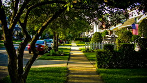
- Traditional Neighborhoods
 Traditional Neighborhoods feature a diverse range of housing options, including small-lot single-family homes, townhomes and neighborhood-scale multi-family buildings. These areas serve as transitions between lower-density Suburban Neighborhoods and higher-intensity Regional and Local Activity Districts. Designed with a walkable, grid-style street layout, they incorporate neighborhood amenities like parks and schools. Small-scale businesses, such as restaurants, shops, or offices, may be located along major roads or key intersections to serve the community.
Preferred Uses
- Housing 1 – Single-family detached housing and accessory dwelling units.
- Housing 2 – Cottage-style single-family homes, duplexes and townhomes.
- Housing 3 – Low-rise multi-family residential uses designed using the form and style of single-family residential structures.
Supported Uses
- Civic/Institutional
- Commercial/Retail
- Live/Work
- Office
- Parks And Open Space
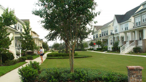
- Suburban Neighborhood
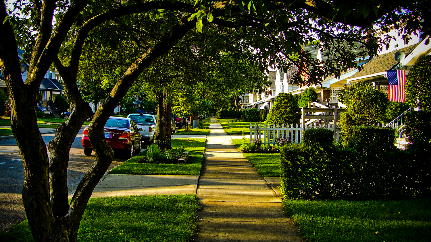
 Suburban Neighborhoods primarily consist of single-family homes within planned subdivisions, making them the most common residential character type in Overland Park. These areas may also include small-lot single-family homes, duplexes and townhomes that serve as transitions between detached homes and nearby commercial areas or major roadways. Parks and schools are common features, contributing to a strong community feel. While many existing neighborhoods have curvilinear streets and cul-de-sacs, new developments should incorporate traditional block patterns to improve connectivity while preserving natural features and ensuring pedestrian and vehicular access to nearby amenities.
Preferred Uses
- Housing 1 – Single-family detached housing and accessory dwelling units.
Supported Uses
- Civic/Institutional
- Housing 2 – Cottage-style single-family homes, duplexes and townhomes.
- Parks And Open Space
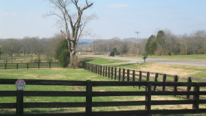
- Rural Transition Zone
 Rural Transition Zone refers to areas that are either within the City’s corporate limits, or within Johnson County’s planning and zoning jurisdiction includes the City’s long-range planning area, which consists primarily of agricultural lots with scattered residential developments on parcels of 10 acres or more. These areas serve as a transition between residential neighborhoods and natural or agricultural lands. Most homes rely on septic systems, and the larger lot sizes help maintain the rural character where public sewer service is unavailable. If sewer infrastructure becomes accessible, Rural Transition Zones may evolve into Suburban Neighborhoods. Future lot and street designs should consider this potential transition to ensure seamless development.
Preferred Uses
- Agriculture
- Housing 1 – Single-family detached housing and accessory dwelling units.
Supported Uses
- Civic/Institutional
- Parks And Open Space
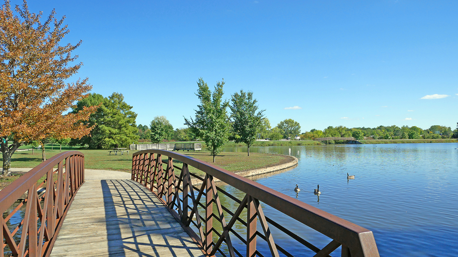
- Public Parks and Open Space
 Public Parks and Open Space encompass protected and undeveloped land, including floodplains, steep slopes, forested areas and other environmentally sensitive or ecologically valuable sites. These areas, found across various land use categories, are intended for long-term preservation with minimal development that enhances the natural environment. Public parks also serve as vital community spaces, offering gathering areas, public facilities, passive open spaces and recreational opportunities. Park development should align with specific planning efforts, and adjacent developments should incorporate environmental features through thoughtful site and building design.
Preferred Uses
- Parks And Open Space