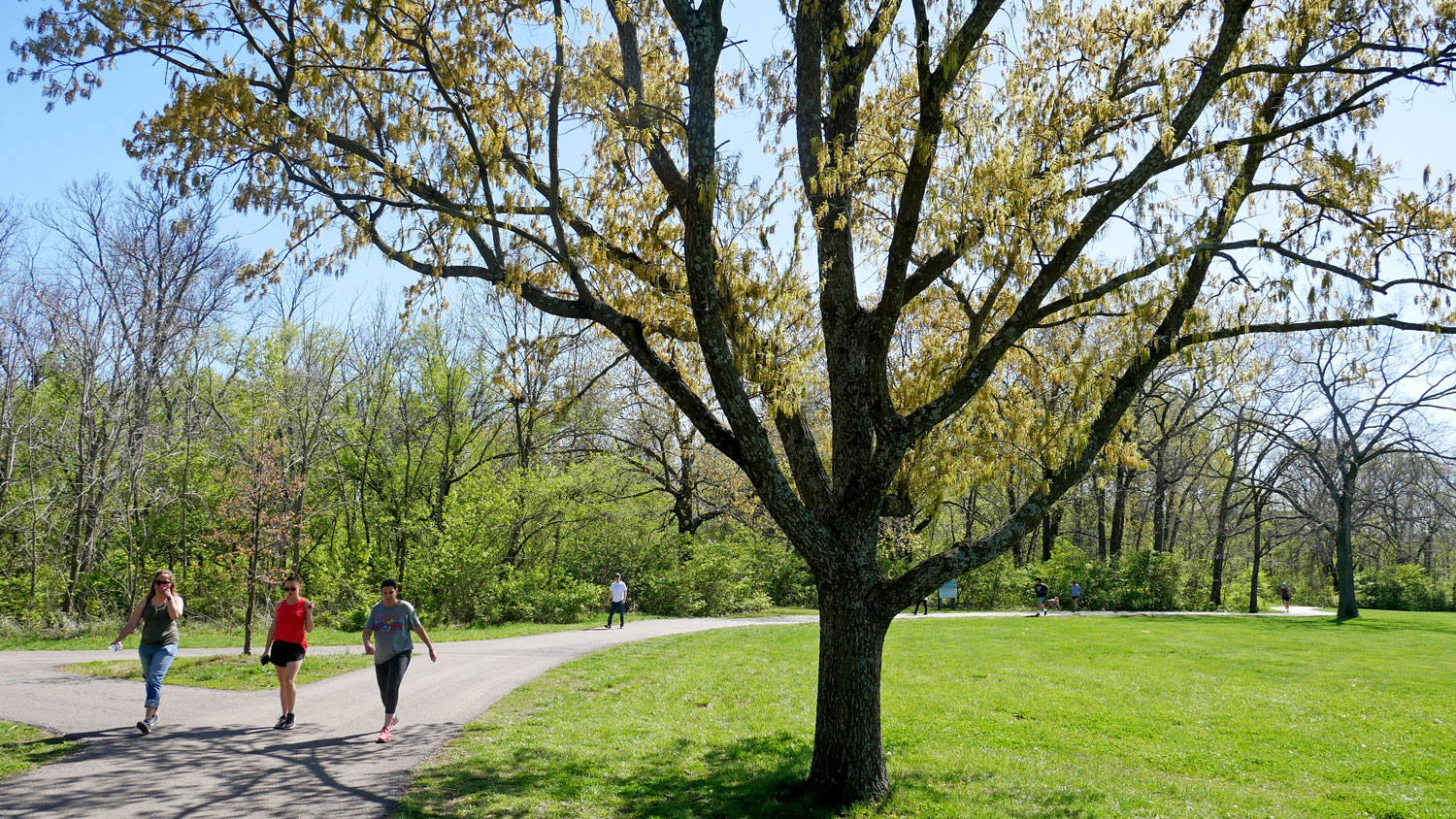
The City of Overland Park wants your help improving navigation and access to the Indian Creek and Tomahawk Creek Trails.
The Overland Park Trail Wayfinding Plan will identify key destinations that should be clearly marked along the trails, create a strategy for sign types and placement along the trails, ensure that wayfinding is inclusive and easy to understand for all users and help reinforce the trail system as a safe, connected and valued community asset.
“This is a unique opportunity to envision a more navigable trail system for our trails, which are a wonderful amenity,” said Bryan Toben, Director of Parks and Recreation. “We hope to hear from anyone who uses the trails, and those who want to, but aren’t sure how to access them. It is crucial that the public share their thoughts and ideas.”
The City invites the community to share ideas for better trail navigation at an interactive pop-up on Saturday, July 12 from 9 a.m. to noon at the Overland Park Farmers’ Market at Matt Ross Community Center, 8101 Marty St.
An online survey is also available at opkansas.org/TrailWayfindingPlan, which includes an interactive map that allows participants to pin and comment on trail areas that require better identification or signage for easier navigation.