Vision Metcalf
Vision Metcalf
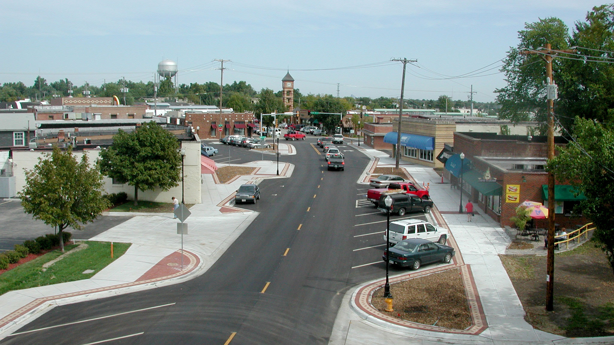
In the mid-2000’s, Overland Park recognized that there was a growing decline in its aging parts of the City. Retail centers along Metcalf Avenue provided visible reminders of how the city was aging and changing.
The community embarked on a planning process focused on addressing the elements of decline along the spine of Overland Park, Metcalf Avenue. The result was the adoption of the Vision Metcalf Plan in 2008.
The Vision Metcalf Plan includes an introduction; a description of the plan’s goals, objectives, recommendations, process, and methodology; visions for land use, transportation, streets, and landscape; visions for five subareas along or near Metcalf Avenue; and next steps in executing the plan.
Plan Documents
Form-Based Code + Downtown Regulating Plan Map
The downtown form-based code was one of the first implementation efforts for Vision Metcalf. Adopted in 2011, the code focuses on the physical form of buildings and their relationship to the city street in order to create a mix of uses in a walkable environment.
The boundaries of the form-based code area are generally defined as downtown Overland Park. This area has a special zoning designation, known as the downtown form district. Although uses are regulated in the downtown form district, the emphasis is on creating buildings that are adaptable over time. Projects that conform to the requirements of the code are able to receive administrative approval from the staff.